
Environmental Data · 2017-2023
Marine Data Viewer
Many datasets. One planning surface.
Environmental Agencies
Project Lead
Overview
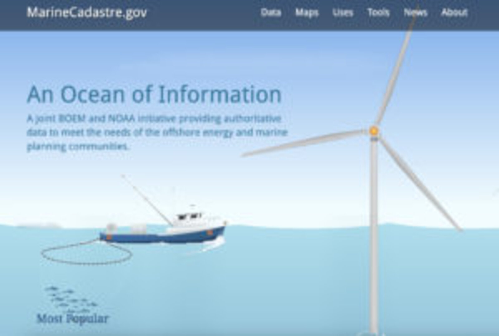
I directed requirements alignment, data integration planning, and UX structure for a marine spatial data viewer used by planners, energy developers, and environmental analysts. The tool brought together complex datasets into a single, clear interface.
My contribution
I directed requirements alignment, data-integration planning, and UX structure for the public-facing viewer. The work supported planners, energy developers, and environmental analysts making sense of offshore information.
Outcomes
Supporting nationwide offshore energy and conservation decisions
Results reported in my original project account. These describe the project’s outcomes, not attribution to one person alone.
Technology & methods
GIS · Azure · Data Integration · Mapping